After moving to Pocatello, I had always wanted to drive the Highline National Recreation trail. I had read about it in the
Camping and Picnicking on the National Forests of Southern Idaho and Western Wyoming brochure I had picked up from the Forest Service Office.
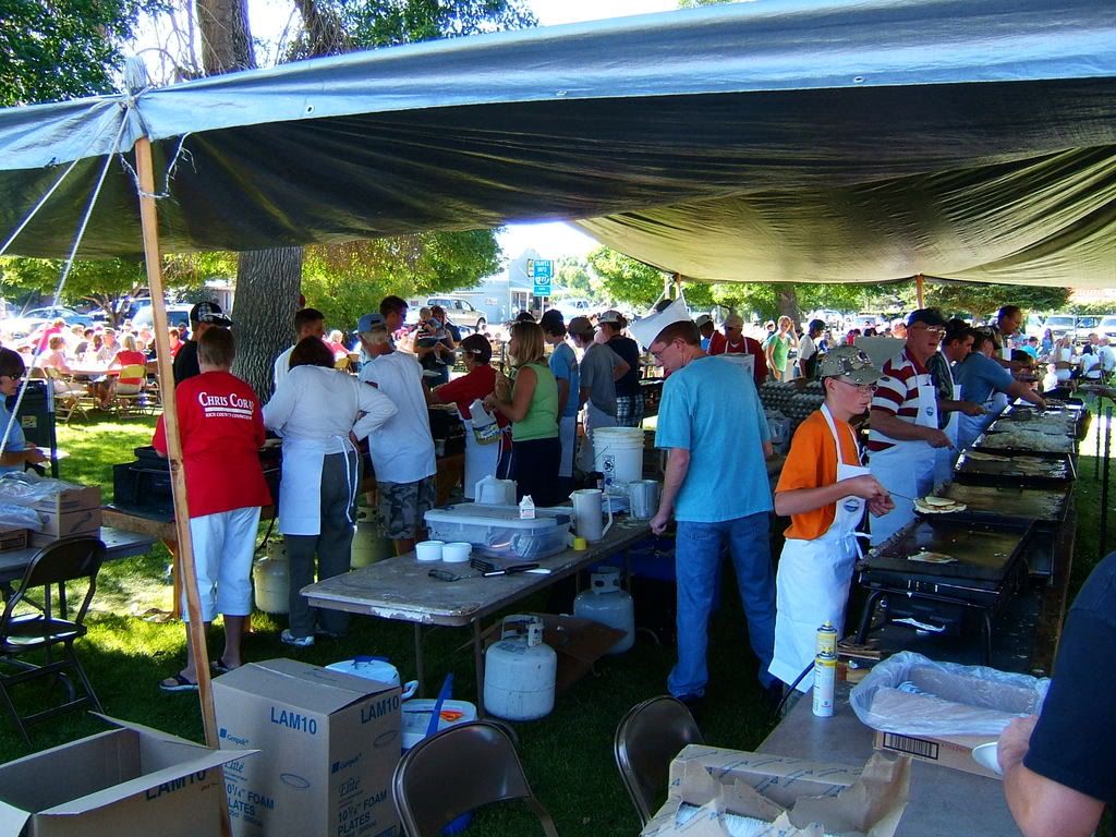
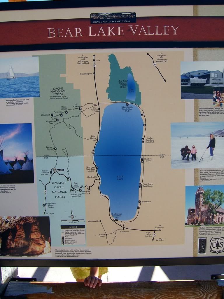
Yesterday we got our chance. We met up with our friends Patrick and Michelle in Pocatello @ 7:30 and after a quick Coffee stop, where not surprisingly the barista knew exactly what Krista was going to order, we were on our way to Garden City, Utah to have a pancake breakfast at their Raspberry Days festival.
 |
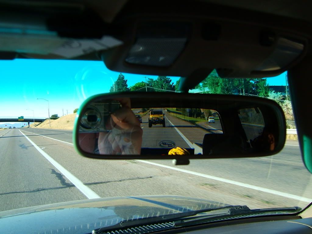
| Leaving Pocatello |
 |
| Pancake Breakfast |
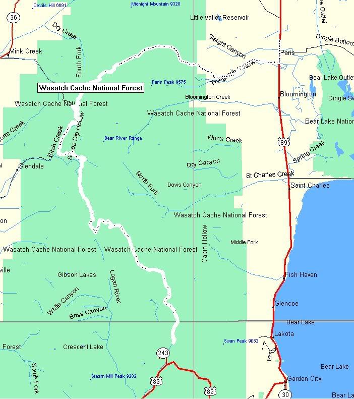
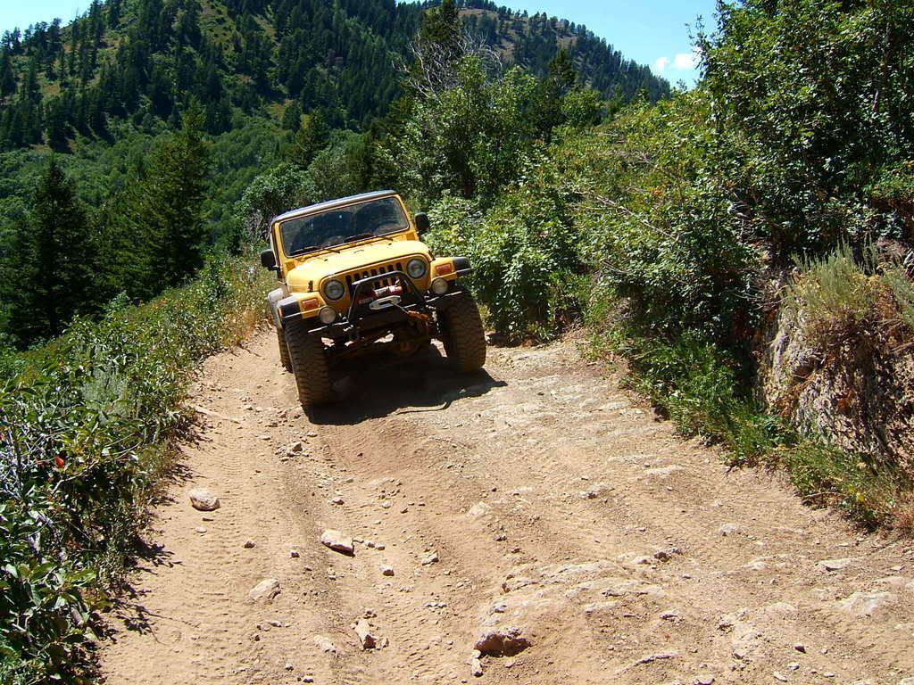
After spending some time in Garden City, we headed South on 89 to our jumping off point near Beaver Mountain Ski Area. Not knowing exactly where the trail was or what it consisted of, I plotted a course along the Forest Service roads that looked to be in the general vicinity of the trail. Our goal was to spend the afternoon driving from the ski hill to Soda Springs, ID on these Forest Service roads.
What an amazing trip. Although we did not reach our original goal of Soda Springs, we did drive through some beautiful country. We traveled 43 miles from the ski hill to Paris Idaho in 4 hours. We went over the German Dugway, climbed to 8,544 ft, and were able to stop by the Paris Ice Cave.
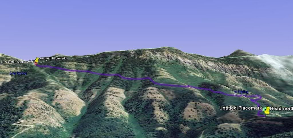
 |
| GPS tracks from the day. |
 |
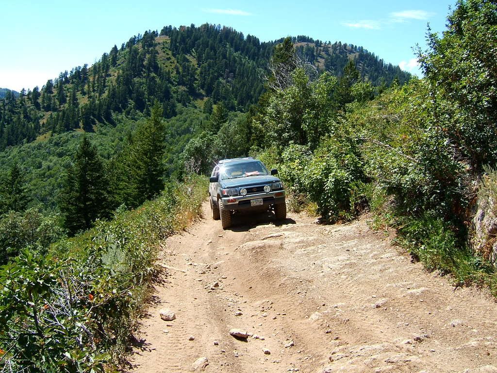
| Forest Service Road 411, just below Idaho/Utah border |
Lower portion of the German Dugway (where we felt comfortable getting out of the vehicles.
 |
| Google Earth view of German Dugway |
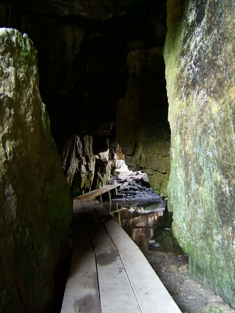
Paris Ice Caves
More pictures of our trip can be found on Expedition Portal by
clicking here.